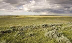
In its seventh year, WWF’s Plowprint Report analyzes the rate of grasslands plow-up across the US, Canadian, and Mexican portions of the Great Plains. This analysis is based on the USDA’s annual Cropland Data Layer, the Agriculture and Agri-Food Canada’s Annual Crop Inventory, and Sentinel-2 satellite data classified using Google Earth’s Engine for Mexico from two years prior to the release date. As a result, the 2022 edition analyzes and reports on plow-up and conversion that occurred during 2020.
The 2022 report shows that while the rate of conversion in 2020 was not greater than the five-year average in either the Northern Great Plains or Great Plains, nearly 1.8 million acres of grasslands were still destroyed across the US and Canadian Great Plains in 2020 alone, contributing to a total of nearly 10 million acres plowed across the region since 2016. One surprising finding from our analysis is that for the first time since WWF began publishing this report, wheat has surpassed corn as the leading crop driving annual grasslands loss across the entirety of the Great Plains, and not just within the Northern Great Plains.
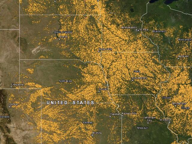
An interactive, online version of the US and Canadian Plowprint map is available below.
Please note that WWF is currently revising the online data to reflect our new methodology and analysis. Therefore, the data that is currently available within the online tool should be used as a visual aid only to illustrate a widespread trend in conversion at the landscape scale.